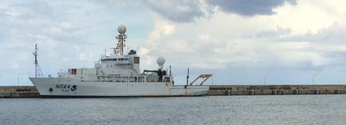
In November of 2013 one of the new sea-going ASSIST instruments built for the University of Miami Remote Sensing Group was installed on the NOAA Ship Ronald H. Brown for a cruise leaving from Bridgetown, Barbados on 11 Nov 2013 and arriving in Recife, Brazil on 8 Dec 2013.
The main task of the cruise which was led by a group from NOAA AOML (Atlantic Oceanographic and Meteorological Laboratory) in Miami was to service buoys of the PIRATA Northeast Extension array.
The tropical North Atlantic is the Main Development Region (MDR) of tropical cyclones. Many major hurricanes that ultimately threaten the eastern United States begin as atmospheric easterly waves that propagate off the African continent. Once over the MDR in the latitude band of 10-20ºN, these waves are exposed to convective instability driven by the upper ocean’s heat content. The resulting infusion of energy can result in closed cyclonic circulation and development from tropical depression to tropical storm and hurricane. These hurricanes are known as Cape Verde-type hurricanes, to distinguish them from storms forming further west, and they are often the most powerful storms to strike the US east coast. Prominent examples include Andrew (1992), Floyd (1999) and Ivan (2004). An average season has two Cape Verde hurricanes, but some years have up to five while others have none. There is uncertainty regarding the specific atmospheric/oceanic conditions that determine which atmospheric waves will develop into tropical cyclones and then hurricanes. Specifically, the quantitative effects of the Saharan Air Layer (SAL), anomalous sea surface temperatures (SST), upper layer oceanic heat content and atmospheric wind shear on the formation of tropical cyclones are poorly known.
The PIRATA Northeast Extension
The Pilot Research Moored Array in the Tropical Atlantic (PIRATA) is a three-party project between Brazil, France and the United States that seeks to monitor the upper ocean and near surface atmosphere of the Tropical Atlantic via the deployment and maintenance of an array of moored buoys and automatic meteorological stations. This array is the Atlantic’s analogue of the Pacific Ocean’s Tropical Atmosphere Ocean (TAO) array. The PIRATA array consists of a backbone of ten moorings that runs along the equator and extends southward along 10ºW to 10ºS, and northward along 38ºW to 15ºN.
PIRATA Northeast Extension (PNE) consists of four moorings, three creating a northward arm up 23°W (building on the equatorial backbone mooring there), and a fourth extending the 38°W arm up to 20°N.
The four PNE buoys need to be serviced annually.
AEROSE
The NOAA Aerosols and Ocean Science Expeditions (AEROSE) constitute a comprehensive measurement-based approach for gaining understanding of the impacts of long-range transport of mineral dust and smoke aerosols over the tropical Atlantic. The project, involving international coordination of monitoring in Puerto Rico, Mali, the Canary Islands, and Senegal, hinges on multi-year, trans-Atlantic field campaigns conducted in collaboration with PNE project over the tropical Atlantic. AEROSE is supported through collaborative efforts with NOAA’s National Environmental Satellite Data and Information Service, Center for Satellite Applications and Research (NESDIS/STAR) and the National Weather Service (NWS), as well as NASA and several academic institutions linked through the NOAA Center for Atmospheric Sciences at Howard University.
University of Miami SST measurements
In collaboration with AOML and the AEROSE group, the University of Miami Remote Sensing Group has been taking part in the combined AEROSE/PNE cruises since the first cruise in 2004 deploying the Marine-Atmosphere Emitted Radiation Interferometer (M-AERI) for skin sea surface temperature (SST) measurements and a suite of other meteorological instruments (a standard automatic weather station, microwave radiometer to measure water vapor, all-sky camera, broadband short- and long-wave radiometers, sub-surface temperature probes) taking axillary measurements.
The SST retrieved from M-AERI measurements of infrared emission spectra of ocean surface and the atmosphere have been used in validation and development of SST retrieval algorithms for space borne instruments MODIS and recently VIIRS. This cruise was one of the first in which an ASSIST was deployed in place of an M-AERI.
ASSIST performed very well during the cruise operating continuously in the harsh oceanic conditions. The Figures below show a map with the track of the NOAA S Ronald H. Brown labeled in terms of SST as measured by the ASSIST, and the time series of SST and air temperature retrieved from ASSIST spectra collected along the way.
TheUniversity of Miami Remote Sensing Group ASSIST instruments are currently deployed on 3 different ships. The Ron Brown, the Celbrity Equinox and the MS Allure of the Seas.
Thanks to Goshka Szczodrak, from the University of Miami Remote Sensing Group for writing this text and giving us permissions to publish it on LR Tech website.


